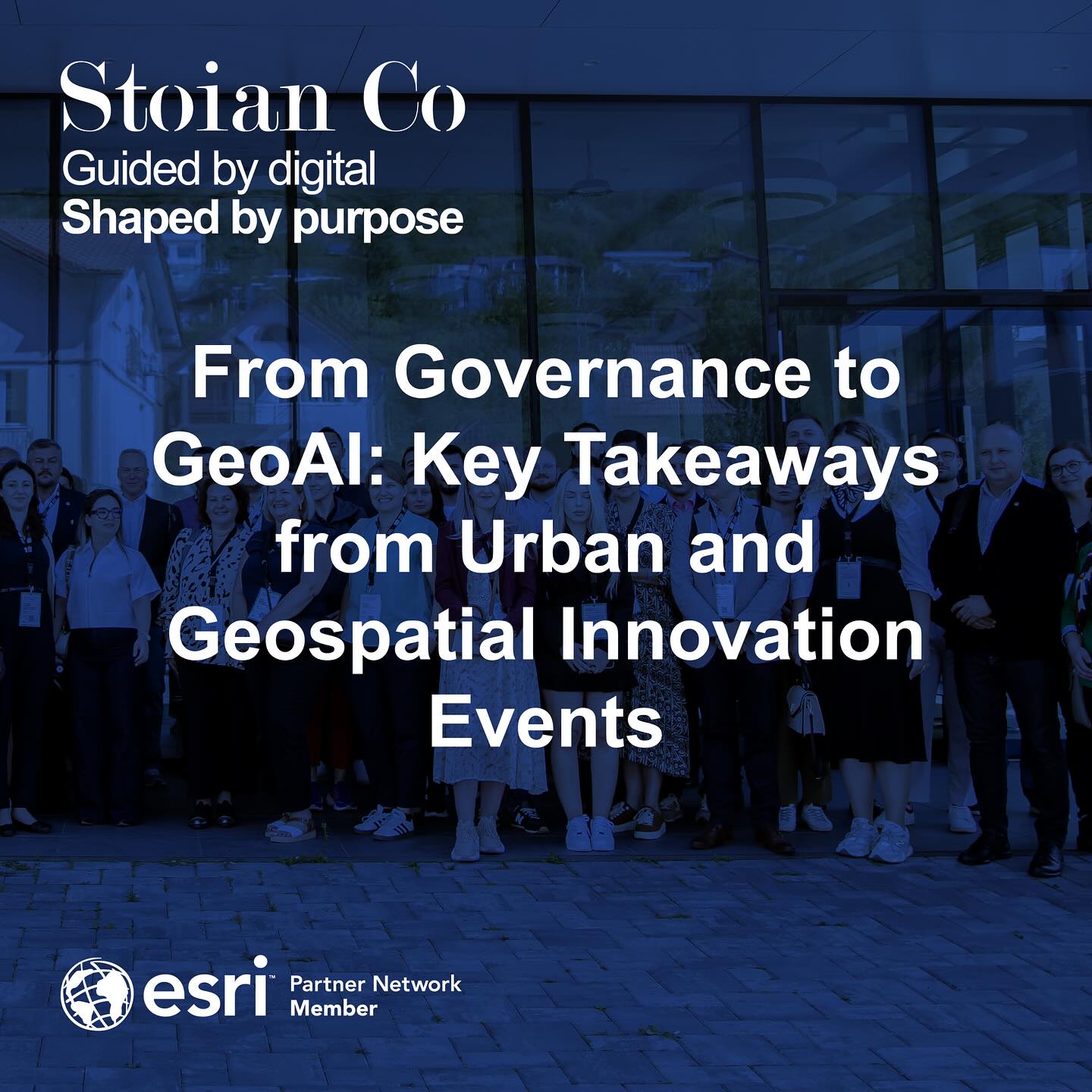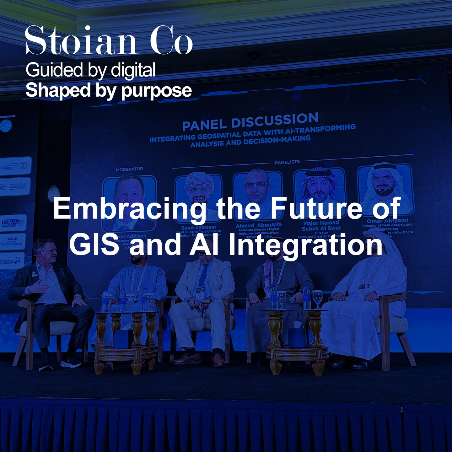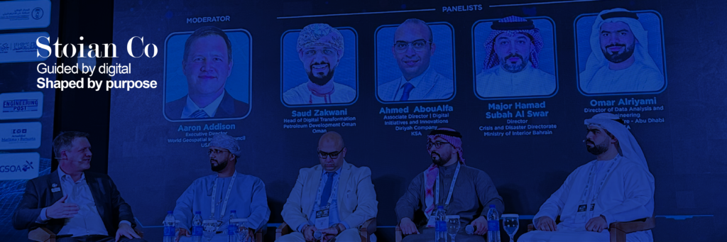
On February 24, I had the opportunity to attend a panel discussion at MENA Geospatial Forum dedicated to GIS and AI Integration. The insights shared by industry experts underscored one pivotal truth: the future of geospatial data lies in leveraging Artificial Intelligence (AI) and Machine Learning (ML) for robust data strategies, efficient data validation, and innovative analytics.
Why This Discussion Matters
In the geospatial world, data accuracy is everything. But as datasets become more vast and diverse, traditional validation and management methods can no longer keep pace. AI and ML present powerful tools for automating data validation, enhancing data quality, and uncovering patterns we otherwise might miss.
Key Takeaways & Industry Trends
- Standardized Data Formats
Consistency in data formats ensures seamless integration and easier collaboration across different platforms. AI-driven solutions can automate the process of categorizing and aligning data to industry standards. - AI for Data Quality
Machine learning algorithms can detect errors, fill in gaps, and improve overall data integrity faster and more accurately than manual methods. - Challenges in AI Implementation
While AI promises considerable benefits, the journey involves stakeholder engagement, robust infrastructure, and consistent training data. A solid data strategy is crucial to ensure models work effectively in real-world conditions. - Business Opportunities
- Data Standardization Services: Many organizations struggle with siloed, inconsistent data. AI can streamline and enhance these processes.
- Predictive Analytics & Insights: Automated modeling can forecast everything from environmental changes to resource allocation needs.
- Collaboration is Key
Partnerships among governments, private sectors, and educational institutions foster cutting-edge research and speed up the adoption of AI-driven GIS solutions.
Being Part of the Change
The geospatial industry is rapidly evolving, and staying ahead of these shifts can define a company’s competitive edge. Whether it’s adopting AI for automated data validation or leveraging predictive modeling for critical decision-making, early involvement helps future-proof an organization’s capabilities.
How I Can Assist
At Stoian Co, we’re dedicated to helping businesses unlock the full potential of their geospatial data. Our services include:
- AI-Driven Data Standardization: From identifying gaps to automated cleaning, we make sure your datasets are accurate and consistent.
- Strategy & Consultation: We guide organizations on integrating AI into existing workflows, ensuring smooth adoption and long-term results.
- Stakeholder Engagement: With an emphasis on collaboration, we bring government, academia, and private sector players to the table to elevate data quality and achieve aligned goals.
If you’re ready to embrace AI in GIS, don’t hesitate to reach out. Together, we can shape a future where smarter data leads to better decisions.