Data I just finished submitting a major package for a project, and honestly, taking a brief pause to reflect right after hitting send feels like the most fulfilling way possible to celebrate exactly one year since Stoian Co was officially registered. Looking back, it truly does not feel like a […]
Read MoreBlog
Beyond the Map: The Power of Geospatial Storytelling and Advanced Visualization
In the world of geospatial analysis, we often focus on the power of our tools to process vast amounts of data. But what happens after the analysis is done? The most profound insights are useless if they cannot be communicated effectively. My time at the Esri Romania User Conference was […]
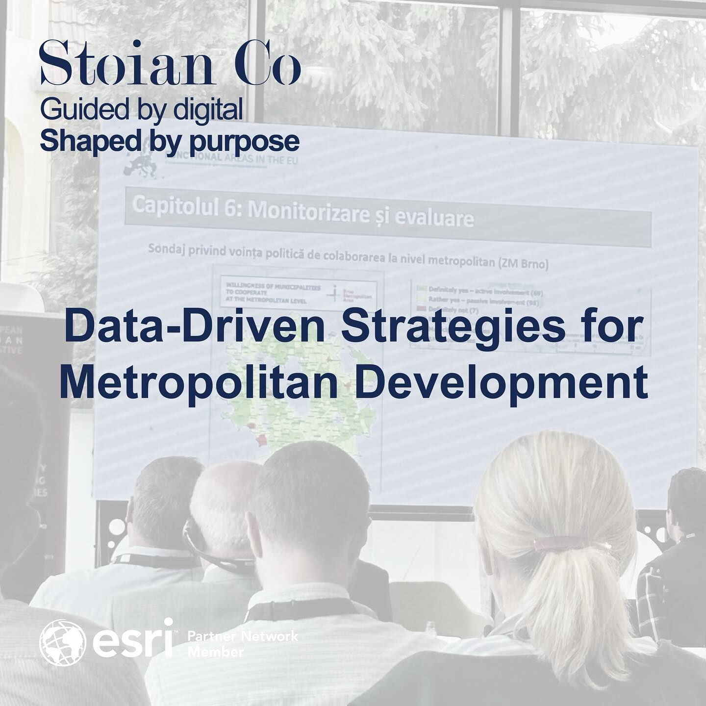
Read MoreLessons in Governance: Data-Driven Strategies for Metropolitan Development
Following up on my last post, it’s time to take a deeper look at the insights from the European Urban Initiative Forum. The central theme was clear: as our cities expand into complex metropolitan regions and functional urban areas, our traditional governance models are no longer sufficient. The future demands […]
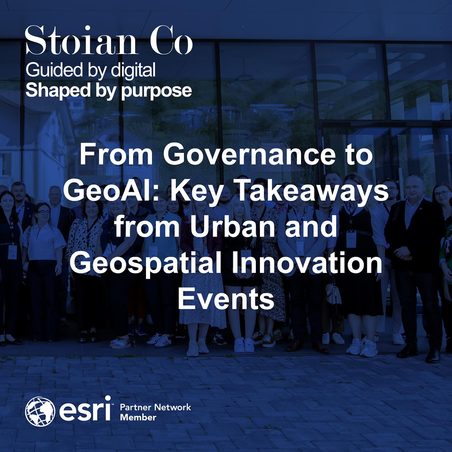
Read MoreFrom Governance to GeoAI: Key Takeaways from Urban and Geospatial Innovation Events
What a productive past couple of weeks. After a period of intense focus on project delivery, stepping out to attend two major conferences was an incredible source of energy and inspiration. I had the pleasure of being at the European Urban Initiative Forum in Cluj-Napoca on September 16th-17th, and then […]
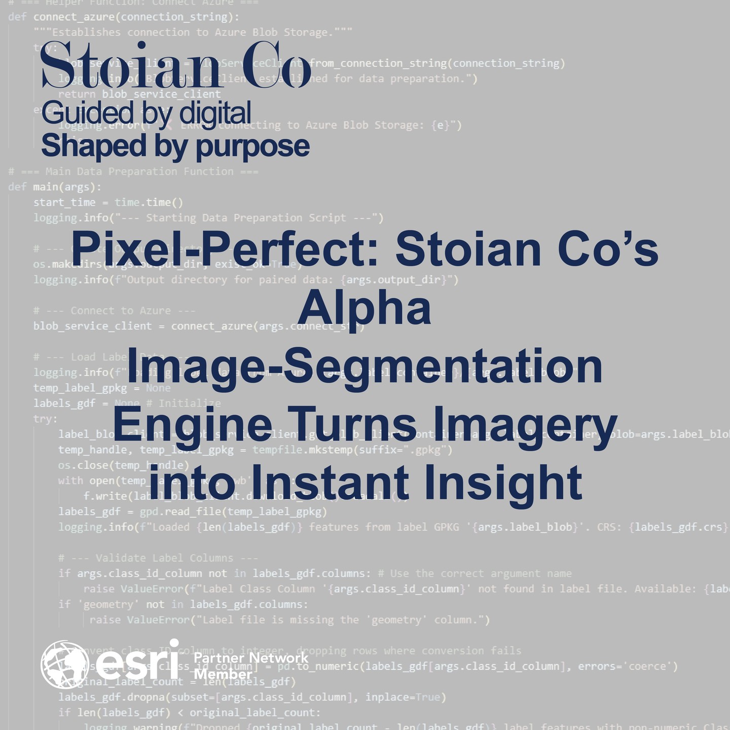
Read MorePixel-Perfect: Stoian Co’s Alpha Image-Segmentation Engine Turns Imagery into Instant Insight
Stoian Co.’s new alpha Image-Segmentation Engine turns ultra-high-resolution imagery into GIS-ready polygons and auto-generated reports—no manual digitising required. Azure-native today, edge-ready tomorrow. Discover how the pipeline achieves near-0.70 mIoU on its first pass and where it’s headed next.
Read MoreAmplifying Geospatial Intelligence & AI Capabilities by Joining the Esri Partner Network
We are thrilled to announce that Stoian Co. – specialists in Geospatial Intelligence & AI Consulting – has officially become a member of the Esri Partner Network (EPN)! This significant step aligns perfectly with our mission to deliver innovative spatial solutions for smarter decision-making and reinforces our commitment to leveraging cutting-edge technology for […]
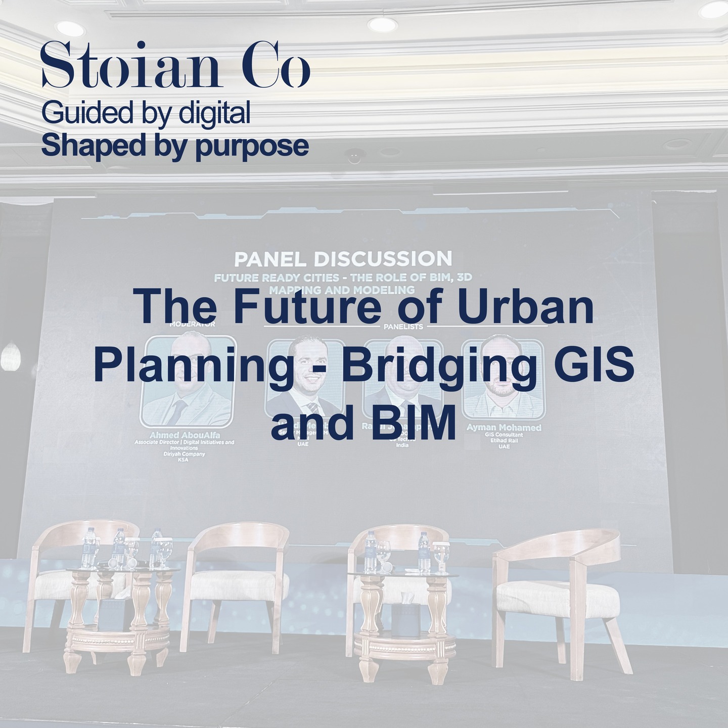
Read MoreThe Future of Urban Planning – Bridging GIS and BIM
On February 24, I attended a thought-provoking panel discussion on the Integration of GIS and BIM in Urban Planning. Speakers from across the industry underscored a game-changing reality: merging geospatial data with Building Information Modeling (BIM) is revolutionizing how we design, construct, and manage our urban environments. Why This Integration […]
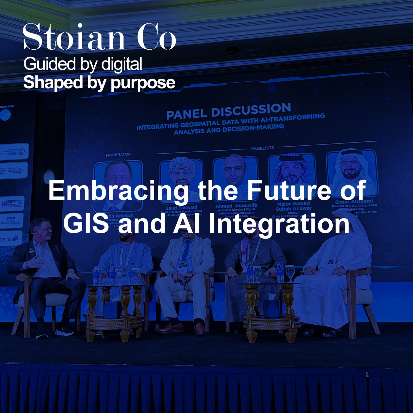
Read MoreEmbracing the Future of GIS and AI Integration
On February 24, I had the opportunity to attend a panel discussion at MENA Geospatial Forum dedicated to GIS and AI Integration. The insights shared by industry experts underscored one pivotal truth: the future of geospatial data lies in leveraging Artificial Intelligence (AI) and Machine Learning (ML) for robust data […]
Read MoreSo it begins…
Last week was truly a whirlwind. I attended the MENA Geospatial forum and the Esri User Conference in the UAE—two back-to-back events brimming with insights into cutting-edge GIS and AI technologies, digital twin advancements, and the ever-evolving best practices shaping the geospatial industry. At the same time, I wrapped up […]
Read More