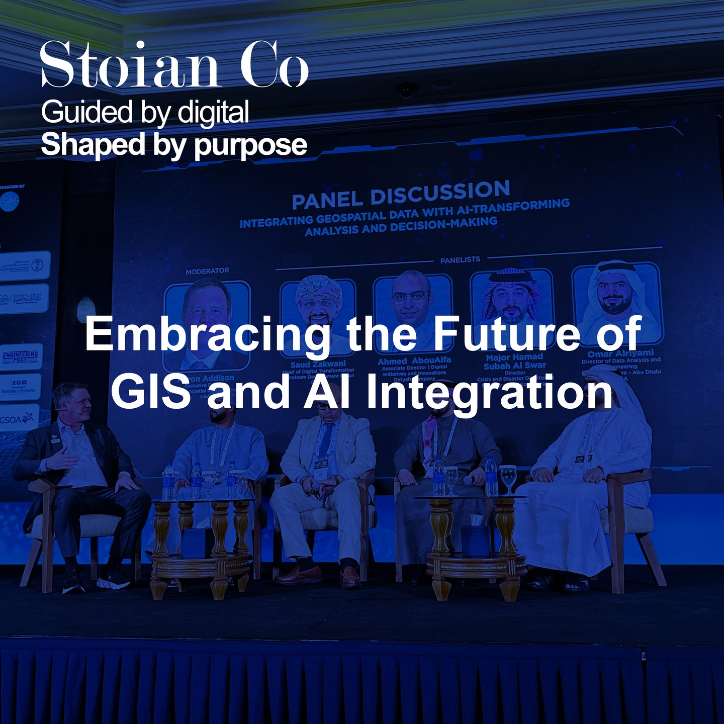
Geospatial Solutions for a Digital Future

GIS Consultancy & Spatial Analysis
We provide expert guidance in geospatial data analysis, helping businesses and governments make informed decisions based on location intelligence. Our solutions include spatial modeling, network analysis, and geostatistics to optimize planning and operations.
Geospatial Data Processing & Automation
Our team streamlines workflows by automating geospatial data processing, transforming raw data into actionable insights. We leverage AI and scripting to clean, structure, and integrate spatial datasets, improving efficiency and accuracy.

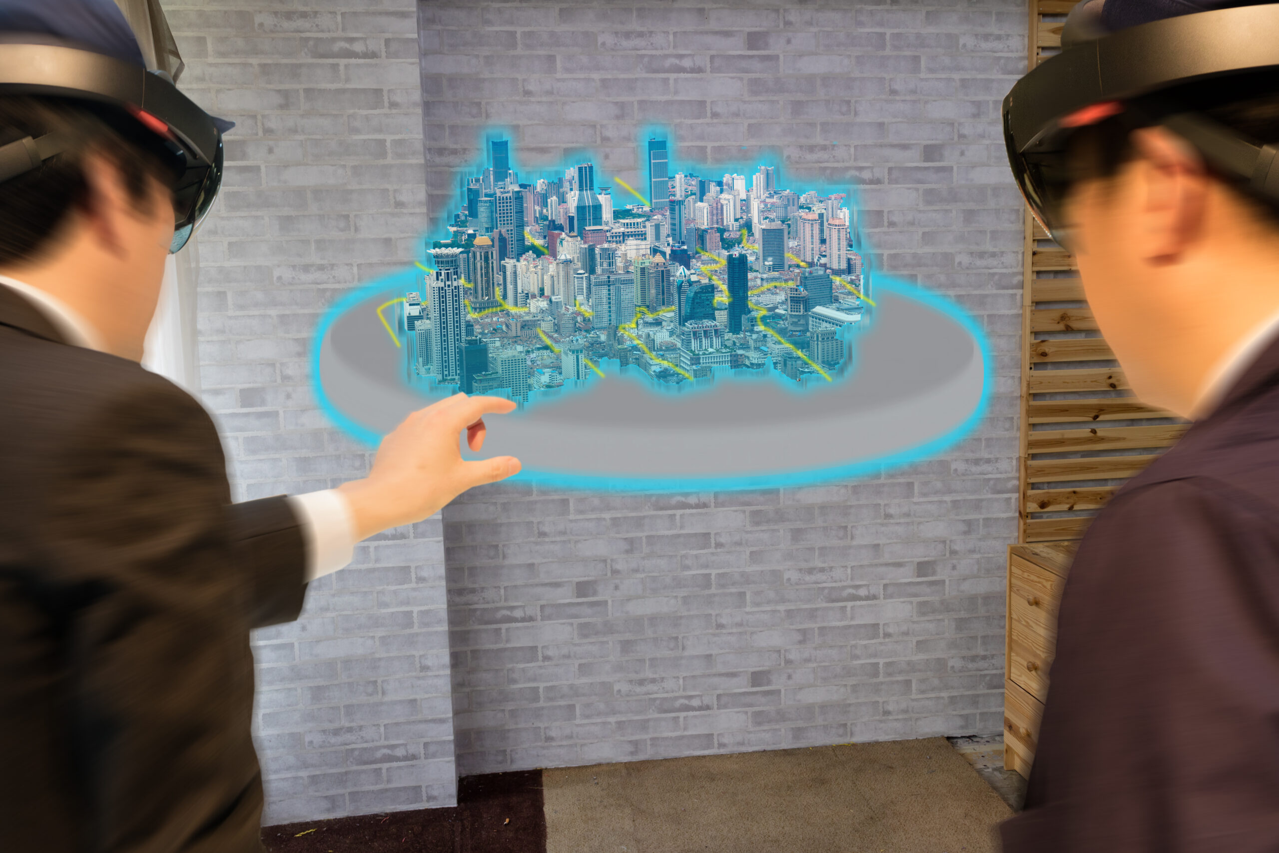
Custom GIS Applications & Software Solutions
We provide expert guidance in geospatial data analysis, helping businesses and governments make informed decisions based on location intelligence. Our solutions include spatial modeling, network analysis, and geostatistics to optimize planning and operations.
Mapping & Surveying for Urban Planning and Construction
We provide expert guidance in geospatial data analysis, helping businesses and governments make informed decisions based on location intelligence. Our solutions include spatial modeling, network analysis, and geostatistics to optimize planning and operations.


Digital Twin Development
We provide expert guidance in geospatial data analysis, helping businesses and governments make informed decisions based on location intelligence. Our solutions include spatial modeling, network analysis, and geostatistics to optimize planning and operations.
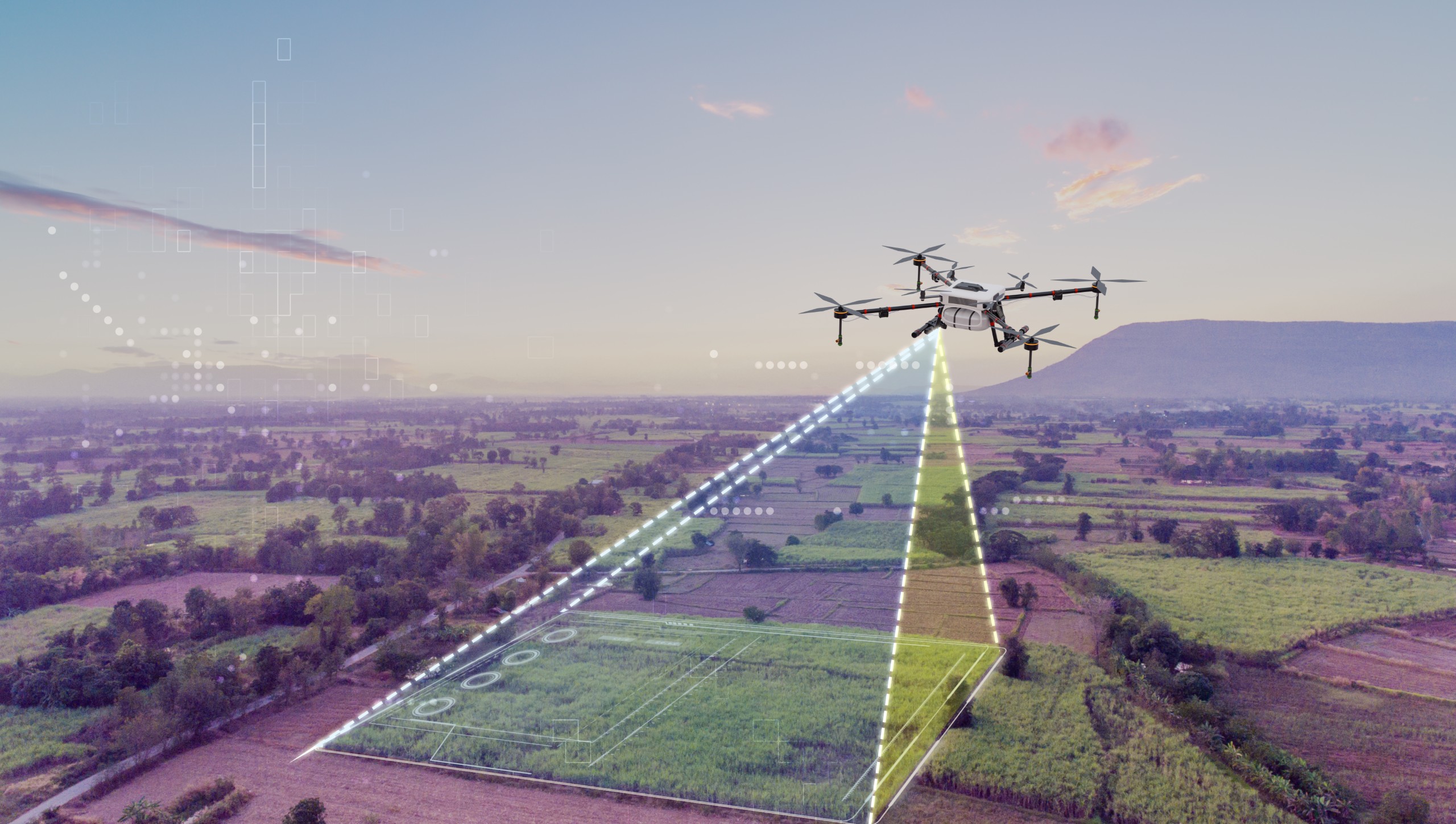
Reality Mapping & 3D Modeling
We provide expert guidance in geospatial data analysis, helping businesses and governments make informed decisions based on location intelligence. Our solutions include spatial modeling, network analysis, and geostatistics to optimize planning and operations.
Not sure if you have another use case? Reach out to us at contact@stoian.co, and let’s explore how we can assist you!
