Data
I just finished submitting a major package for a project, and honestly, taking a brief pause to reflect right after hitting send feels like the most fulfilling way possible to celebrate exactly one year since Stoian Co was officially registered.
Looking back, it truly does not feel like a full year has passed. It was a very fast paced year, and I was lucky to start work from the very first day. One of my absolute proudest moments came early on when our first official client walked through the door simply because I was recommended. That meant the world to me. It meant that at some point I did something right, and I was deeply proud of that.
From that single spatial coordinate, our trajectory became an ascending slope that started to incline exponentially. I consider myself to be very lucky and in a privileged position, because work found me more than I was looking for it. This was a clear indicator for me that the company was moving in the right direction and that we had found the right projection for our business.
A Year of Innovation: GeoAI, Digital Twins, and Strategic Partnerships
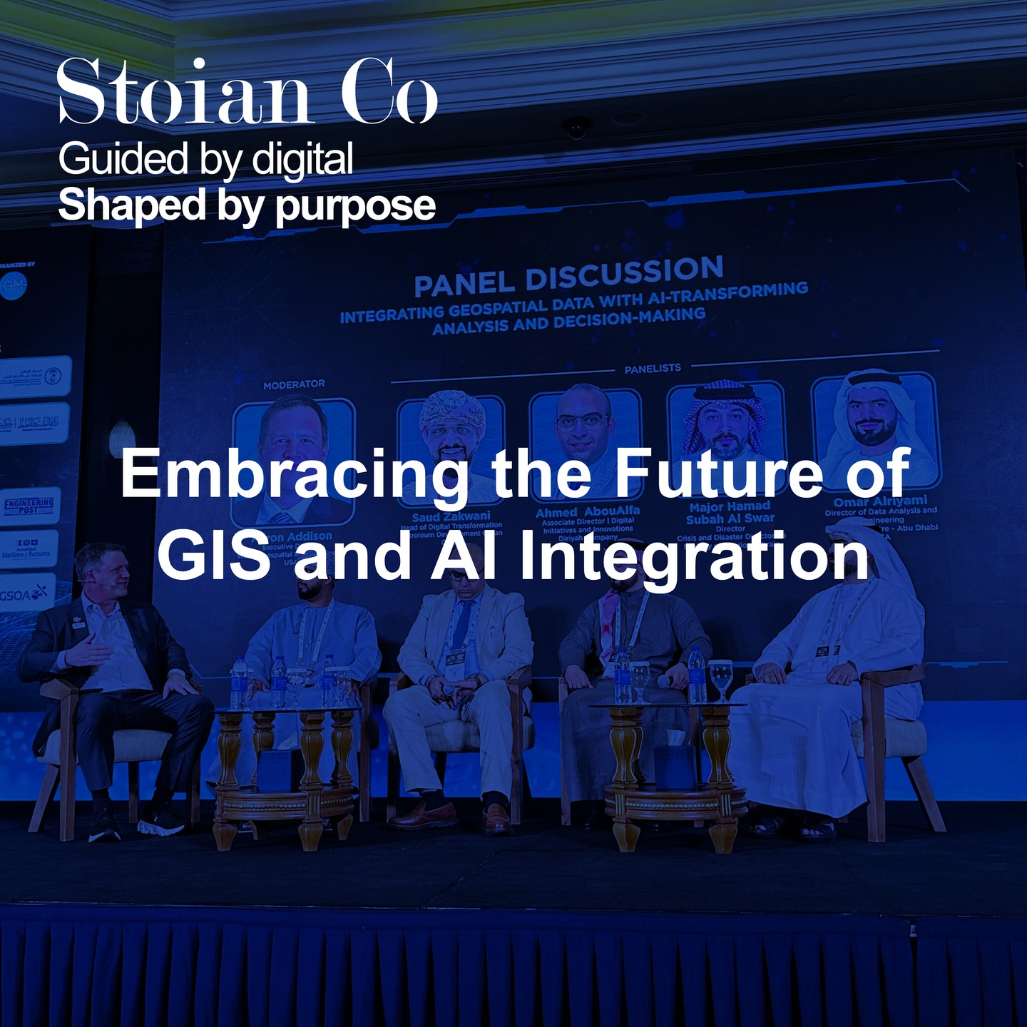
If you have followed our journey, you know how layered this year has been. We started with the MENA Geospatial Forum and the Esri User Conference in the UAE, diving deep into cutting edge GIS and AI technologies, digital twin advancements, and how merging geospatial data with Building Information Modeling (BIM) is revolutionizing how we design our urban environments.
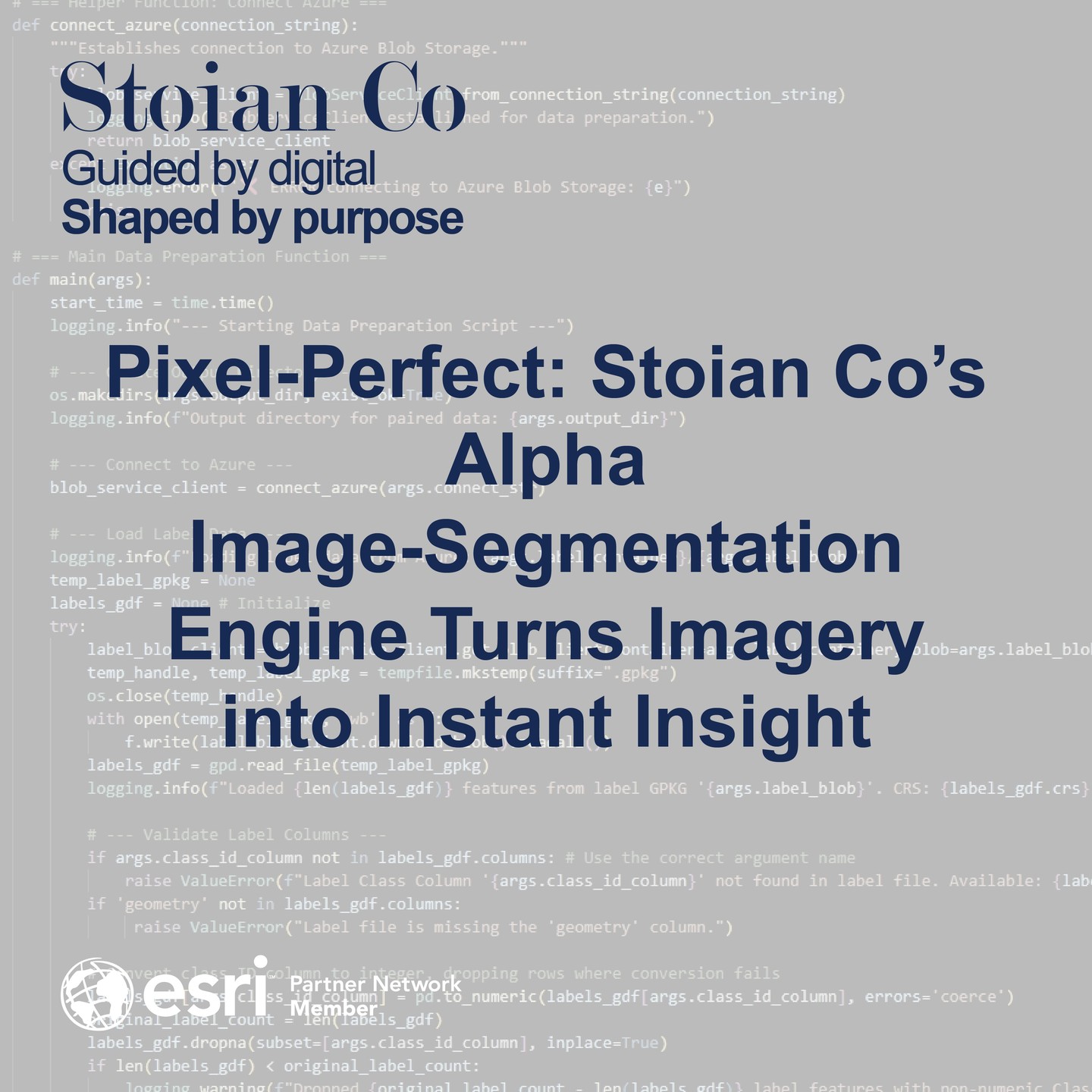
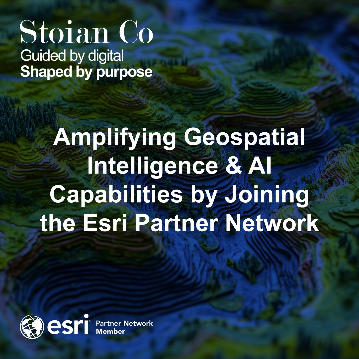
By spring, we amplified our geospatial intelligence and AI capabilities by officially joining the Esri Partner Network. We also successfully launched our Alpha Image-Segmentation Engine, an Azure-native pipeline that turns ultra-high-resolution imagery into GIS-ready polygons and auto-generated reports without manual digitizing.
Beyond the Map: Governance and the Crisis of Data
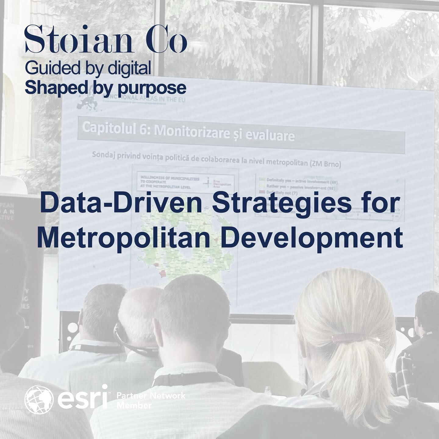
After a period of intense focus on project delivery, stepping out to attend the European Urban Initiative Forum in Cluj-Napoca was an incredible source of energy. The central theme was clear: as our cities expand into complex metropolitan regions, our traditional governance models are no longer sufficient.
Two powerful models for regional cooperation were consistently highlighted: Integrated Territorial Investments (ITI) and Community-Led Local Development (CLLD). The ITI model successfully scaled cooperation in the Warsaw Metropolitan Area to fund 500 km of bicycle paths, while Romania’s CLLD model championed a bottom-up approach to create the country’s largest medical screening database.
However, the conference discussions revealed a universal bottleneck hindering their implementation: a crisis of data. Data collected at the local level is often fragmented, non-standardized, and difficult to aggregate. As one speaker noted bluntly, “there is no coherent data.” This data chaos leads directly to slow decision making and bureaucratic complexity.
From Data Chaos to Strategic Clarity
Effective metropolitan governance is a data engineering and spatial intelligence challenge. The path forward requires a Metropolitan Data Infrastructure. Such a system is not merely a database; it is an integrated environment designed to:
- Integrate and Standardize Data: Unify information from diverse sources into a coherent format.
- Enable Advanced Spatial Analysis: Provide tools to model traffic and justify major investments.
- Deliver Interactive Dashboards: Offer clear, intuitive visualizations for stakeholders.
- Support Policy Simulation: Evolve into Digital Twins that allow leaders to simulate policy impacts proactively.
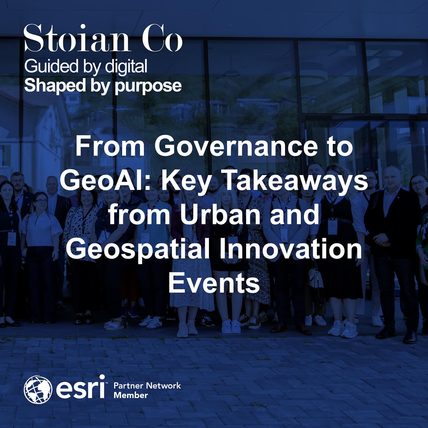
At the Esri Romania User Conference, we explored what happens after this analysis is done. The most profound insights are useless if they cannot be communicated effectively. This is the true power of geospatial storytelling.
Plotting the Future
While the ambition for collaborative governance is high, its success hinges entirely on building a robust data foundation. At Stoian Co, we specialize in designing and building these foundations.
For this upcoming year, I am planning to keep the momentum, expand the team, and grow the services we offer. I am incredibly grateful for the partnerships we built along the way, including our collaboration with SilaCities, and I am looking forward to continue delivering value to our clients.
Here is to adding many more feature classes to our geodatabase of success!
Ovidiu-Stefan Stoian CEO & Founder