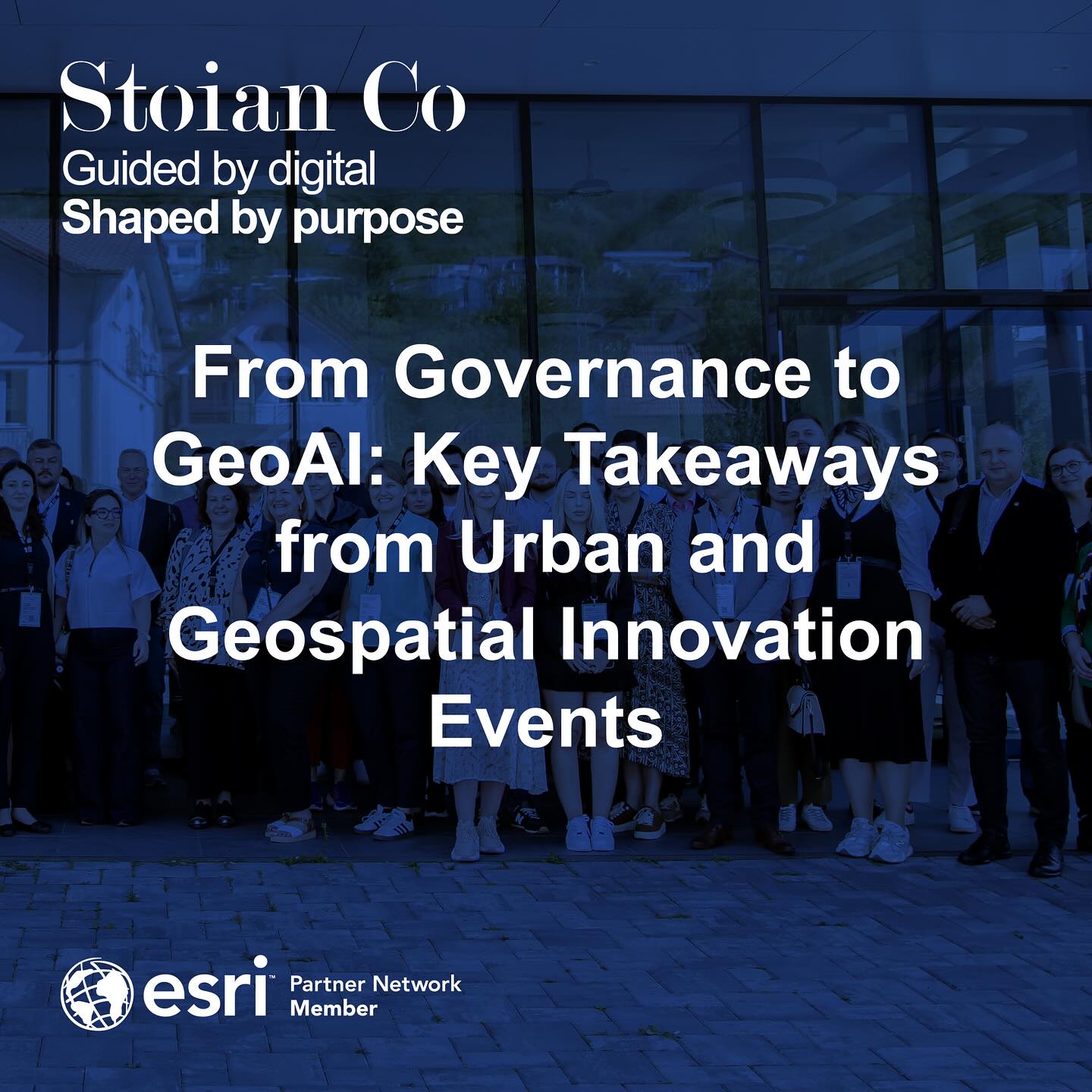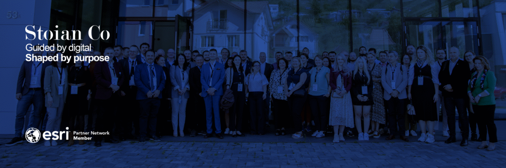
What a productive past couple of weeks. After a period of intense focus on project delivery, stepping out to attend two major conferences was an incredible source of energy and inspiration. I had the pleasure of being at the European Urban Initiative Forum in Cluj-Napoca on September 16th-17th, and then the Esri Romania User Conference on September 22nd. The dual experience painted a vivid picture of where our industry is and where it is heading. It was fantastic to reconnect with so many familiar faces and brilliant minds at both events.
This post is a high-level look at the dominant themes, but consider it a teaser. In the coming weeks, I’ll be publishing more detailed analyses on the specific concepts and technologies that caught my attention. For now, here is a flavor of the key discussions.
The European Urban Initiative: The Challenge of Governance and Data Cohesion
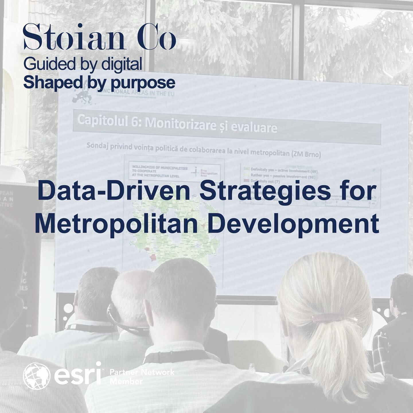
The sessions in Cluj were a masterclass in the complexities of modern urban development. The central theme was not just about building new infrastructure, but about forging new models of collaborative governance to manage our increasingly interconnected metropolitan regions.
Discussions were dominated by frameworks like Integrated Territorial Investments (ITI) and Community-Led Local Development (CLLD). These sessions showcased how regions, from the Warsaw Metropolitan Area in Poland to Valea Jiului in Romania, are tackling large-scale challenges through cooperation. These models emphasize a “bottom-up” approach, where community and private sector engagement drives sustainable regeneration.
However, a critical challenge echoed through every presentation: a profound lack of coherent, standardized, and accessible data across municipalities. This data fragmentation is the single biggest obstacle to effective, data-driven strategic planning. Without a unified view, how can we truly understand urban dynamics, reduce rural-urban disparities, or measure the real impact of our investments? This question perfectly set the stage for the second conference.
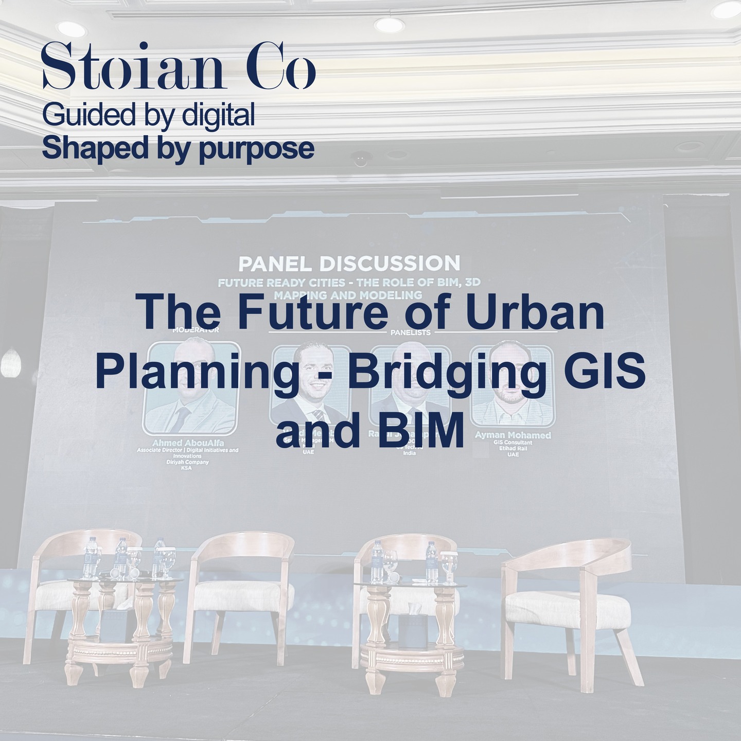
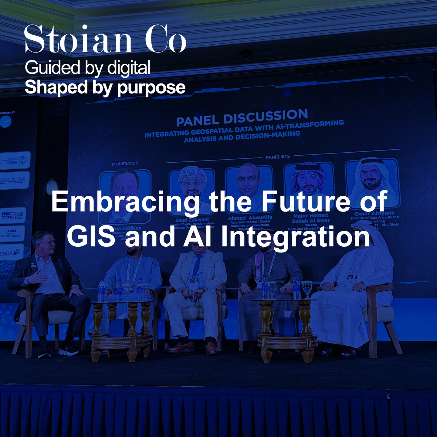
The Esri® Romania User Conference: The Technological Leap Forward
If the EUI forum defined the “why” and the “what,” the Esri conference delivered the “how.” The technological advancements on display were nothing short of transformative, providing direct answers to the governance challenges discussed just days before.
Artificial Intelligence was a central topic. The key benefit I see is how AI is being positioned as a powerful tool to assist specialists, not replace them. It helps make complex work more efficient.
- GeoAI offers a useful set of tools for object detection and classification, embedded directly within the ArcGIS® ecosystem.
- AI Assistants in ArcGIS® Pro and web applications, powered by Large Language Models (LLMs), can help simplify workflows for specialists by allowing them to perform analyses using natural language.
We saw the maturation of Digital Twins and seamless BIM-GIS integration. Companies like Strabag demonstrated how a “Digital Shadow” can de-risk construction projects and optimize planning from day one. Furthermore, advancements in real-time data processing, from Full Motion Video (FMV) for emergency response to the incredible potential of new high-resolution satellite imagery, are closing the gap between data collection and actionable insight.
Finally, the industry is facing a pivotal moment with the impending retirement of ArcGIS® Desktop on March 1, 2026. So, for those still clinging to ArcMap, the clock is officially ticking. It is time to let go, it won’t be coming back for one last mission! This mandatory evolution is pushing organizations to modernize their workflows and rethink how they deploy geospatial capabilities.
Connecting the Dots: Our Role in Shaping the Future
These two events, though different in focus, tell a single, compelling story. The strategic need for integrated, data-driven urban governance is converging with a technological revolution that provides the very tools to achieve it.
This intersection is precisely where Stoian Co. operates. Our mission is to bridge the gap between complex spatial challenges and the advanced technological solutions that solve them. We see our role as more than just a service provider; we are partners in transformation. It is imperative to be part of this change, actively shaping how our cities and environments evolve.
How we can assist:
- Building Metropolitan Data Infrastructures: We help overcome data fragmentation by designing and implementing centralized systems that standardize information and create a single source of truth for regional planning.
- Implementing Digital Twins: Leveraging our expertise in BIM-GIS integration and 3D modeling, we create dynamic digital replicas of urban environments to simulate policies, optimize infrastructure, and engage stakeholders.
- Leveraging GeoAI for Predictive Insights: We apply advanced machine learning models to geospatial data to move beyond reactive analysis and towards predictive modeling for everything from urban growth to environmental risk.
- Facilitating the ArcGIS® Pro Migration: We provide strategic consulting and technical support to ensure a smooth, efficient, and cost-effective transition from legacy systems to the modern ArcGIS® Pro platform.
What’s Next on the Blog
So many fascinating topics were discussed at both conferences. To keep the momentum going, I will do my best to publish at least two deep-dive articles per week, aiming for every Wednesday and Friday, covering the most interesting themes. Here is the lineup I have in mind:
- Week 1:
- Lessons in Governance: Data-Driven Strategies for Metropolitan Development (EUI)
- Beyond the Map: The Power of Geospatial Storytelling and Advanced Visualization
- Week 2:
- GIS in Action: How Industry Leaders Like DELGAZ and Strabag are Building the Future
- Financing the Future: Innovative Models from Europe’s Urban Initiatives (EUI)
- Week 3:
- The New Frontier of Intelligence: A Look at ArcGIS AllSource™ and GEOINT
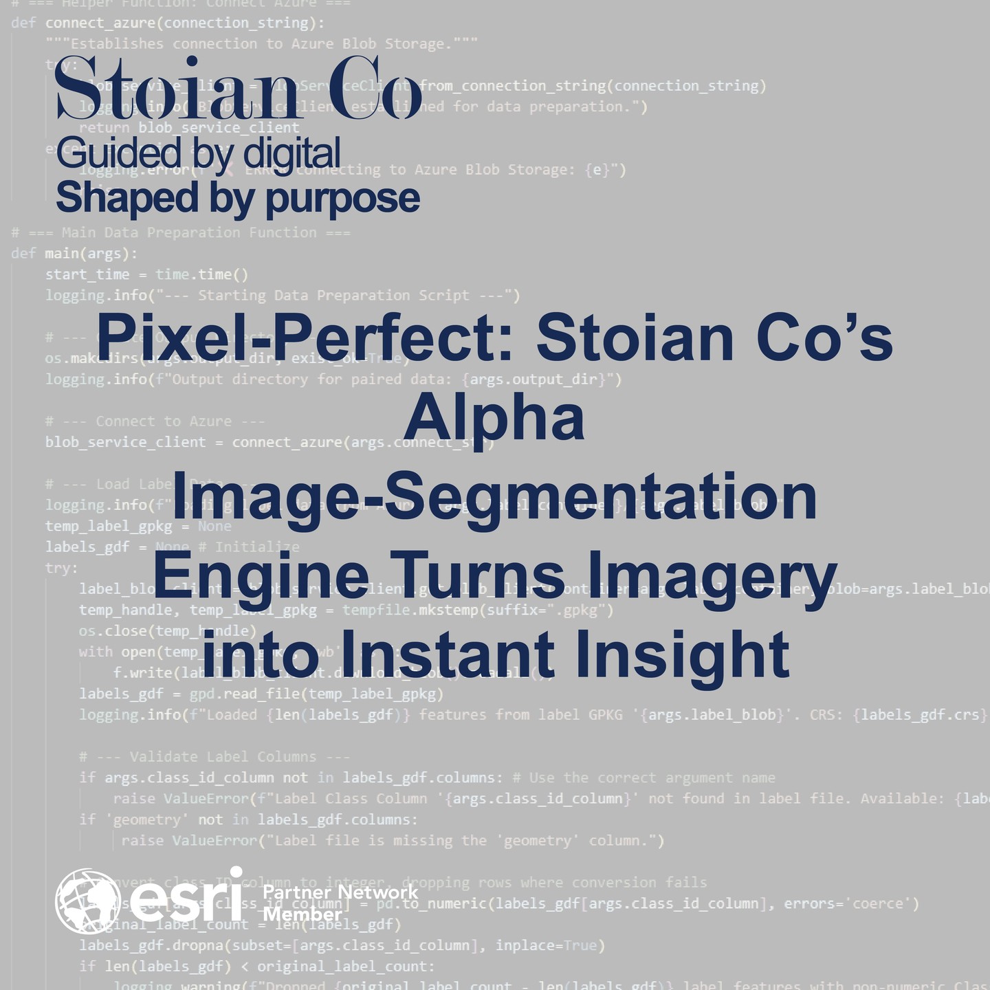
- From Pixels to Petabytes: The Revolution in Drone and Satellite Imagery
The future is being built today, through smarter governance and more intelligent technology. We left the events more energized than ever to be at the forefront of this evolution. Let’s connect and discuss how we can build smarter, more sustainable environments together.