We are thrilled to announce that Stoian Co. – specialists in Geospatial Intelligence & AI Consulting – has officially become a member of the Esri Partner Network (EPN)! This significant step aligns perfectly with our mission to deliver innovative spatial solutions for smarter decision-making and reinforces our commitment to leveraging cutting-edge technology for our clients.
Who is Esri?
Esri is the global market leader in geographic information system (GIS) software, location intelligence, and mapping. Their foundational ArcGIS technology, built on “The Science of Where®,” empowers organizations worldwide to unlock the full potential of data, transforming it into actionable insights that improve operational and business outcomes across diverse sectors like urban planning, infrastructure, and environmental management.
Why Joining the Esri Partner Network Matters for Stoian Co. and Our Clients
Membership in the EPN is more than a designation; it’s a strategic enhancement of our capabilities and a testament to our expertise at the intersection of GIS, AI, and cloud technologies. Here’s how this partnership benefits our work:
- Enhanced Technical Capabilities: As an EPN member, we gain deeper access to Esri’s comprehensive ArcGIS system – including advanced software, development tools, cloud services (ArcGIS Online, Enterprise), and dedicated technical support. This allows us to further enhance our AI-powered mapping, cloud-based GIS solutions, and automated geospatial workflows.
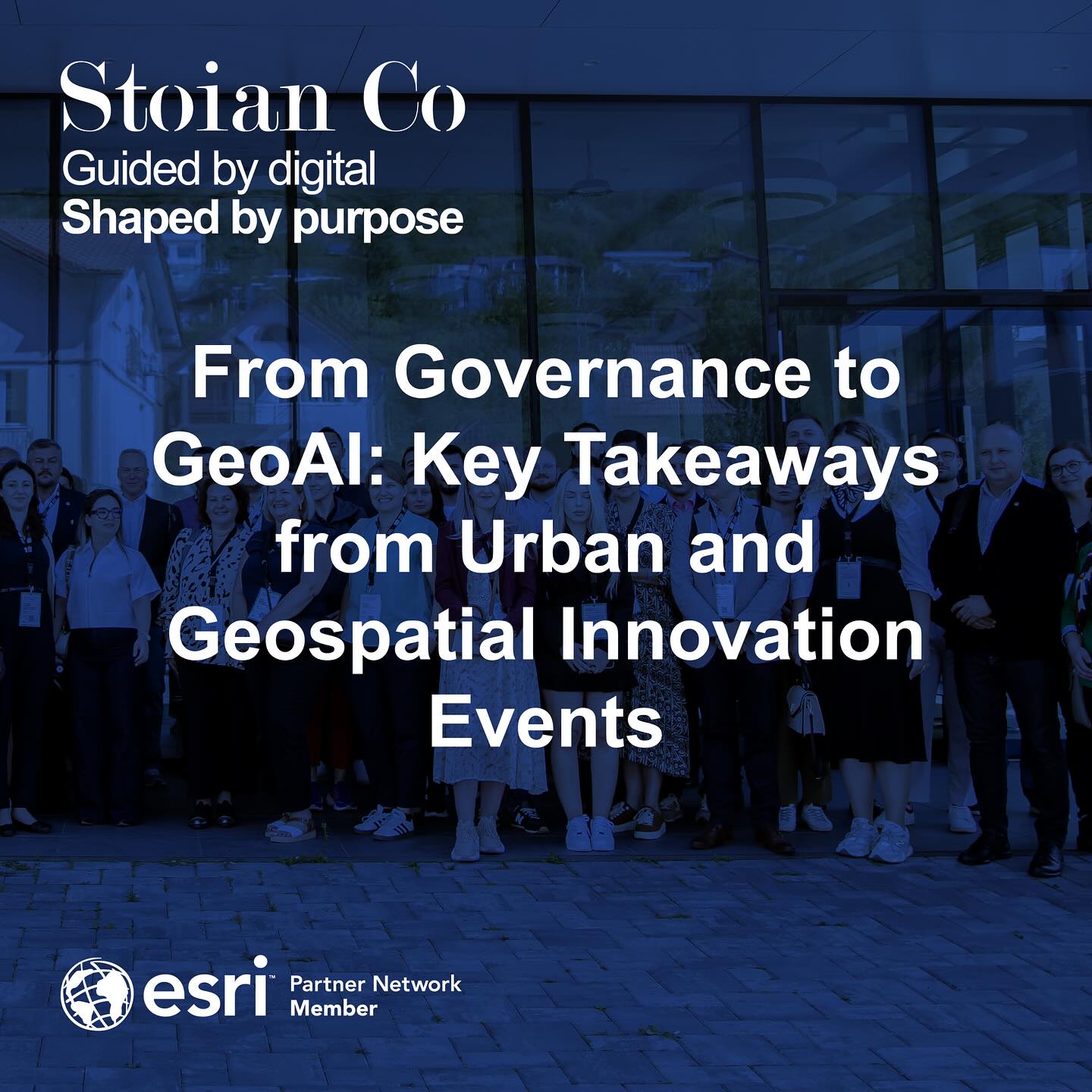
- Driving Innovation: The GIS and AI landscape evolves rapidly. Our EPN membership ensures we remain at the forefront of Esri’s technological advancements, enabling us to integrate the latest tools and best practices into the tailored solutions we build for urban planning, infrastructure, and environmental analytics.
- Leveraging Global Leadership: We can tap into Esri’s extensive knowledge base, partner resources, and global community. This collaboration strengthens our ability to address complex spatial challenges with greater agility and efficiency, drawing on both our specialized expertise and Esri’s robust platform.
- Stronger, Integrated Client Solutions: This partnership directly translates into more powerful outcomes for our clients. We can deliver superior geospatial intelligence, advanced analytics, custom AI-driven applications, reality capture integration (processing drone and satellite imagery), and strategic consulting, all built on the reliable and scalable foundation of Esri technology. This partnership aligns perfectly with Esri’s brand promise and personality – visionary, intelligent, committed, logical, and problem-solving – traits that resonate deeply with Stoian Co.’s own approach.
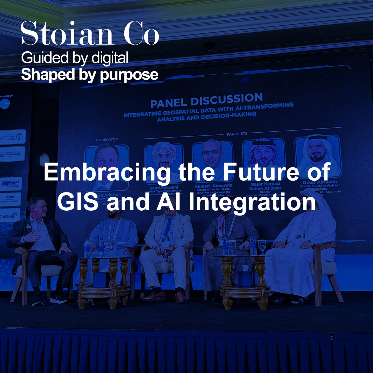
The Convergence of Geospatial, AI, and Cloud
In today’s complex world, simply mapping data isn’t enough. The real value lies in extracting deep insights and automating processes. Understanding the ‘where,’ augmented by AI and powered by the cloud, is crucial for sustainable development, efficient infrastructure, and resilient urban environments. Being part of the EPN positions Stoian Co. – with our specific focus on AI-driven automation and cloud integration – perfectly to help organizations navigate this convergence and transform spatial data into the actionable insights that drive smarter decision-making and long-term impact.
How Stoian Co., as an Esri Partner, Can Elevate Your Projects
As an official Esri Partner Network Member, leveraging the advanced capabilities of ArcGIS technology alongside our deep expertise in AI and cloud platforms, Stoian Co. is better equipped than ever to help you:
- Implement, optimize, and manage Esri’s ArcGIS technology (Pro, Online, Enterprise) within your cloud or on-premise infrastructure.
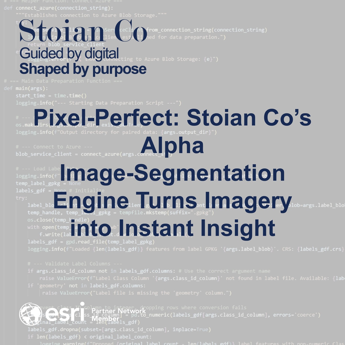
- Develop custom AI-driven geospatial workflows for enhanced classification, feature extraction, automated image analysis, and predictive modeling.
- Integrate scalable, cloud-based GIS solutions (leveraging platforms like Microsoft Azure alongside ArcGIS) for efficient, large-scale data processing and secure management.
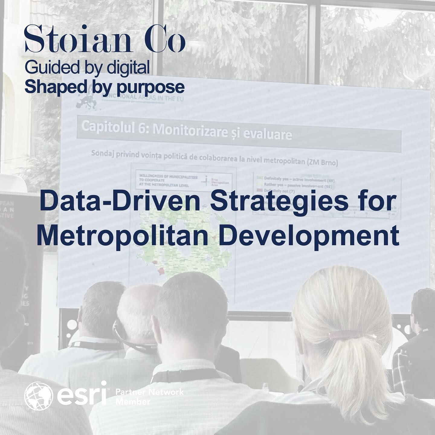
- Perform sophisticated spatial analysis for urban planning scenarios, environmental impact assessments, infrastructure optimization, carbon modeling, and sustainability reporting.
- Process and integrate reality capture data (drone/satellite imagery, point clouds) within GIS environments for high-fidelity 3D modeling, digital twin creation, and accurate site evaluations.
- Provide strategic consulting on leveraging geospatial intelligence and AI for digital transformation initiatives, ensuring solutions are not just technically sound but also drive sustainable and impactful outcomes.
Looking Forward: Guided by Digital, Shaped by Purpose
We are incredibly excited about the opportunities this partnership unlocks. Joining the Esri Partner Network significantly strengthens our ability to integrate cutting-edge AI, cloud computing, and Esri’s powerful GIS capabilities. This is directly aligned with our mission to transform spatial data into meaningful, real-world impact and our vision to shape smarter, more sustainable environments. We continue to be Guided by digital, Shaped by purpose.
Ready to explore how our enhanced capabilities as an Esri Partner can benefit your organization’s specific geospatial and AI needs? Contact us today!